News
Dubai Municipality Introduces 3D Infrastructure And Service Lines Map project
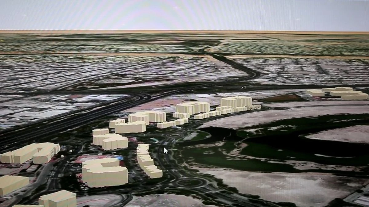
A new innovative project has been undertaken by the Dubai Municipality under which all the infrastructure and service lines including the underground lines can be visible in 3D maps. The project titled Dubai Municipality’s 3D Infrastructure and Service Lines Map has been launched in an effort to make Dubai a fully smart economy that offers multiple innovative services that align itself with international standards.
The new 3D scan tech will be a step ahead in the sustainable efforts of the Dubai Municipality
Dawoud Al Hajri, Director-General of Dubai Municipality said that a detailed study will be done as part of this new project on choosing advanced technologies to build a complete 3D model of the geospatial data.
This would include the 3D model of different infrastructural data; underground service line details; all of these integrated into a single model that will contain precise information. Al Hajri noted that the study would also look into new technologies like Ground Penetrating Radar (GPR) system and other major methods that can assist the Dubai Municipality in creating a long-term sustainable model.
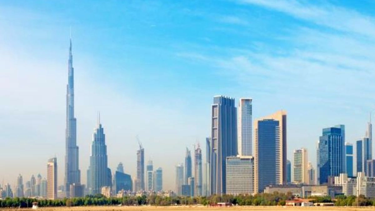
He has also made it clear that the Municipality will be giving more emphasis on the sustainability efforts in Dubai after His Highness Sheikh Mohamed bin Zayed Al Nahyan, President of the UAE declared 2023 as the year of sustainability. This also points to the major efforts and projects carried out by the administration as part of the COP28 conference that will be organized by the end of this year.
Mariam Al Muhairi, acting CEO of the Building Regulation and Permits Agency said that the whole project is divided into two phases.
The first phase will look at all the available technologies that can be integrated into creating the 3D models. This will ensure that the project will have global-level quality, efficiency, and sustainability which will also need expert hands and ample training.
The second phase will start once the technology is in place and it will carry out a detailed analysis of the infrastructure service lines and geospatial data to create an updated model with all the necessary information. This information would include details on different services like sewage, irrigation, rainwater lines, power lines, road lighting lines, and water lines.
The 3D scan shall open up a range of possibilities for the proper maintenance and surveillance of underground service lines by the Dubai Municipality. It will also provide enough data to the Municipality for reaching its digital twinning goals that aim to speed up and facilitate 3D infrastructure data operations like NOCs and other infrastructure projects for certain buildings.
Dubai Municipality has been making continuous efforts to position its goals according to the larger vision of the Dubai administration to make the city a sustainable and modern economy. The various projects started by the municipality are based on these goals and they are hoping to make headway into these projects as early as possible.
Last year, in December, Dubai Municipality launched a geospatial business and innovation incubator known as “GeoHub”. It was a joint venture by the Geographical Information System (GIS) Center with the Hamdan Innovation Incubator and the Mohammed bin Rashid Establishment for Small and Medium Enterprises Development (Dubai SME).
The incubator is a first of its kind in the region and it focuses on two main ecosystems; the first one is creativity which includes the entrepreneurship ecosystem and the second one is innovation which consists of the academic development ecosystem.
Both the cooperating bodies from Dubai SME and Hamdan Innovation Incubator visited the GeoHub at the GIS center and verified that the hub meets all the specified accreditation standards.
Related Topics
🔹137 Female Employees From MBC Group Joins Dubai Business Women Council As Members
🔹UAE: Corporate Tax Pre-registration Opens Ahead Of June 1 Deadline
During the delegate visit, the GeoHub officials made an official presentation on the goals and ambitions of the Center. They also briefed them about the subscription process and the complete working mechanism of the hub.
There was also a session on the achievements, major projects, research, and services offered by the GIS at the municipal level. The services included offering geospatial data and other information to head innovative as well as creative projects; offering geospatial software and licenses etc. The innovation incubator shall also help in advancing the existing tech and research efforts through its introduction of new methods in the area of infrastructural and sustainable development models.
The Dubai Municipality has also created a specialized team of experts to monitor the weather conditions in the emirate city around the clock. This team would look at constant weather patterns and any possible risks that can arise due to unstable weather.
They would also immediately coordinate with other departments to ensure that the weather conditions shall not cause any sort of safety issues for the residents of Dubai. This is an efficient and sensitive step from the authorities as Dubai and the UAE in general have been facing unstable weather for the past two months.